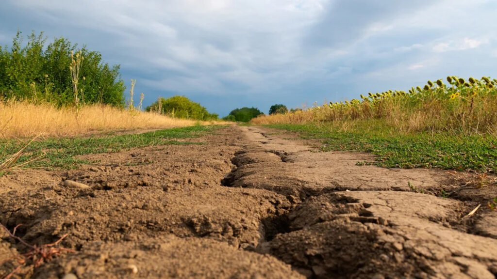
The area of the country experiencing three out of five levels of drought expanded over the past week. A “flash drought” could be on the way for portions of at least 10 states by the end of September.
The latest U.S. Drought Monitor report reveals that drought conditions at nearly every level have worsened compared to a week ago. Just over 60% of the country is now considered abnormally dry. More than a third of the country is experiencing at least moderate drought conditions, level two out of five. A severe drought — level three out of five — is impacting just over 21% of the contiguous U.S. All three of those levels have seen an increase compared to the previous report.
The portion of the country experiencing an extreme drought — level four out of five — dropped slightly to 6.24%. The part of the country experiencing an exceptional drought — level five out of five — held steady at 0.32% compared to a week ago.
By far, the West region, as defined by the report, is experiencing the worst drought conditions compared to the rest of the country. Nearly two-thirds of the region is experiencing at least a moderate drought, and almost half of the West is experiencing at least a severe drought.
According to the 8-14 Day U.S. Hazards Outlook released this week by the Climate Prediction Center (CPC), a rapid-onset drought could target portions of at least 10 states in the central and southeast U.S. within the next two weeks.
The CPC has been issuing a Rapid Onset Drought Risk product since May 2022 to help identify “areas where rapid drought development (sometimes known as “flash drought“) may occur in the coming 2-4 weeks,” according to the National Integrated Drought Information System (NIDIS).
What sets flash droughts apart is their speed. As conditions worsen sharply over a short period, they can bring drought-level impacts to agriculture, hydrology, and the environment. The CPC has identified a corridor of the country stretching from eastern Missouri into northern West Virginia, along with parts of Arkansas, Mississippi, and Alabama, as being at risk of a flash drought.
“The Day 8–14 U.S. Hazards Outlook contains human-drawn delineations of where conditions are expected to have the potential of posing a hazard to life or property,” the NIDIS explains. “National Weather Service forecasters use set criteria for designating a hazard area but also apply a subjective decision factor. A cold snap in the winter or a heat wave in the summer are likely threats to life and property, while a cool period in July is not.”
Our warming world is supercharging the water cycle, driving more intense droughts on one end of the spectrum and fueling extreme precipitation on the other. “Either extreme — from prolonged drought to flash flooding — can have a range of devastating impacts on people, ecosystems, water resources, and major sectors such as agriculture,” researchers with the nonprofit Climate Central said.
“Rising temperatures are worsening the risk of drought in parts of the U.S.,” Climate Central scientists added. “Warming air increases the potential evaporation from land and transpiration from plants. This process increases the water available for precipitation in some areas but contributes to drying in other areas — such as the southwestern U.S., which is experiencing the most severe megadrought of the past 1,200 years.”
Join our free newsletter for good news and useful tips, and don’t miss this cool list of easy ways to help yourself while helping the planet.

